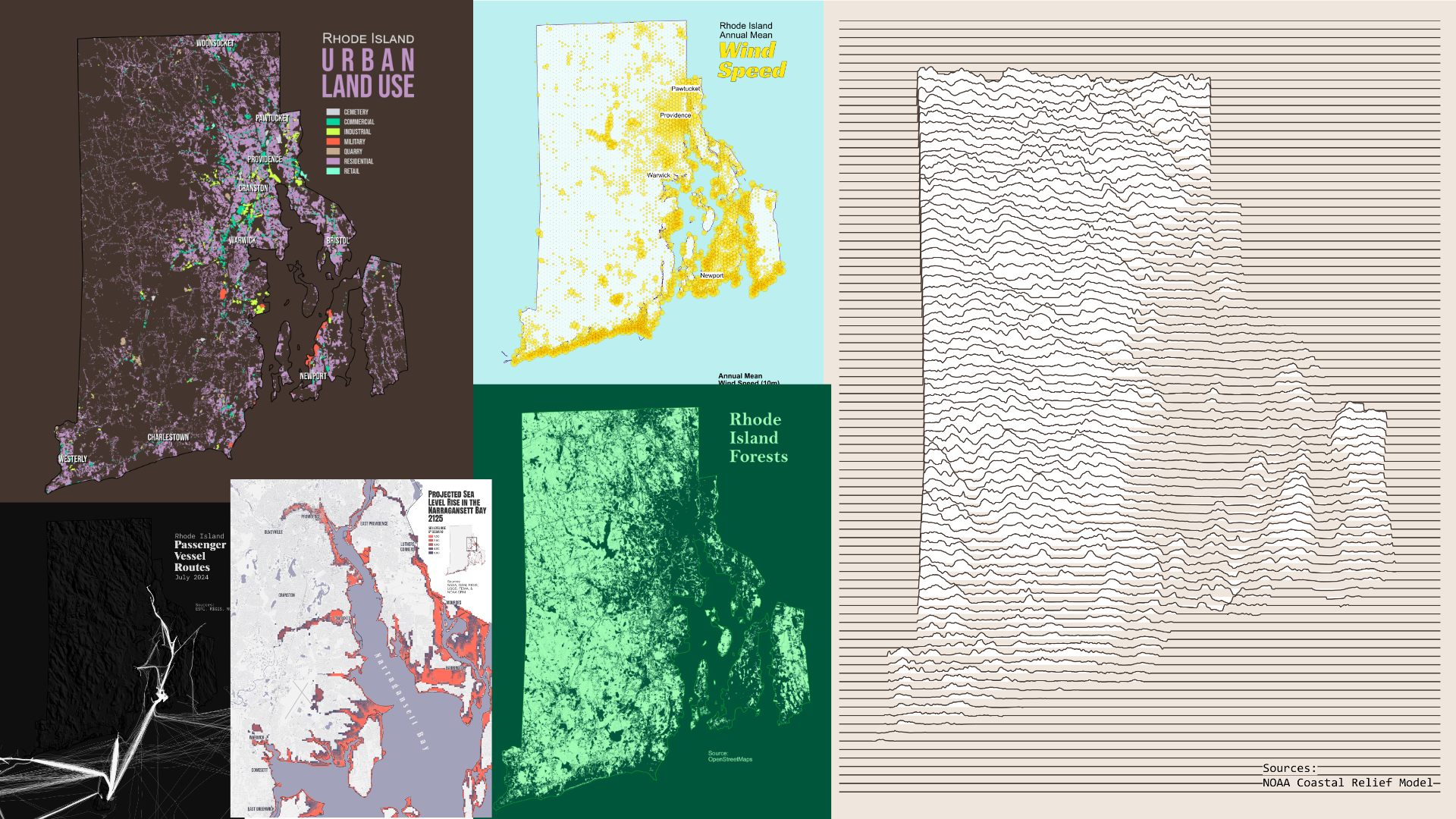
Week 2 of the 30DayMapChallenge recap. As a reminder, I decided to focus a single area of interest (AOI) for most of my maps: Rhode Island. I skipped Day 8 – Analog as I didn’t have the bandwidth to make a map by hand.
All maps were made with QGIS and Affinity Designer.
#Social Media (Bluesky)
Day 8 – Urban Rhode Island Urban Land Use
Day 8 – UrbanRhode Island Urban Land UseThis is my first time using OSM data for a land use map. The data seems pretty complete, a near mirror of my Forest Types map. Hopefully, Knoxville will get to this level of coverage one day. #30DayMapChallenge
Day 10 – AirRhode Island Annual Mean Wind Speed 🍃RI coastlines, urban areas, and lakes are pretty windy at the surface level. Prudence Island was a little surprising, given the stories from early settlers. Poor Block Island, though (probably my symbology). #30DayMapChallenge
Day 11 – Minimal Rhode Island Elevation Joy Plot Map
Day 11 – MinimalRhode Island Elevation Joy Plot MapI made a Joy Plot map years ago in ArcPro, but I am using QGIS these days, so I figured this would be a great time to learn a new workflow. I will be posting the workflow on Day 23 – Process.#30DayMapChallenge
Day 12 – Map from 2125 Projected Sea Level Rise in Rhode Island
Day 12 – Map from 2125SLR in Rhode IslandPart of my MS research, I studied the impact of SLR on bldgs in coastal LA. SLR is rising faster in the Gulf than anywhere else in the US. While the RI SLR extent is not as bad as LAs, the population density is higher. #30DayMapChallenge
Day 13 – 10 Minute Map Rhode Island Passenger Vessel Routes in July
Day 13 – 10 Minute MapRI Passenger Vessel Routes in JulyThis is my third 30Day challenge, and I always flub the 10 min challenge. My eyes are always bigger than my stomach. 😂 I wanted more of a glow effect, but that ate up all of my time. #30DayMapChallenge
Day 14 – OpenStreetMapRhode Island ForestsRhode Island's OSM forest coverage is very good. This source may be an option for my other maps. I spent a few hours creating a map similar to the forest types map from day 2 before changing directions to a more minimalist design. #30DayMapChallenge