
Brief History of Knoxville
Knoxville was settled in 1786 by James White with approximately 100 settlers in Cherokee Territory. The settlement was known as James White’s Fort, which was located near First Creek and the Tennessee River. In 1790, North Carolina ceded its territory west of the Appalachian Mountains to form the Southwest Territory, with White’s Fort as the capital. In 1791, the US signed the Treaty of Holston with the Cherokee at White’s Fort, and territorial governor William Blount renamed the settlement Knoxville in honor of Henry Knox. Tennessee was admitted to the Union in 1796, and Knoxville served as the state capital until 1812. Today, Knoxville is the third largest city in Tennessee.
The Print
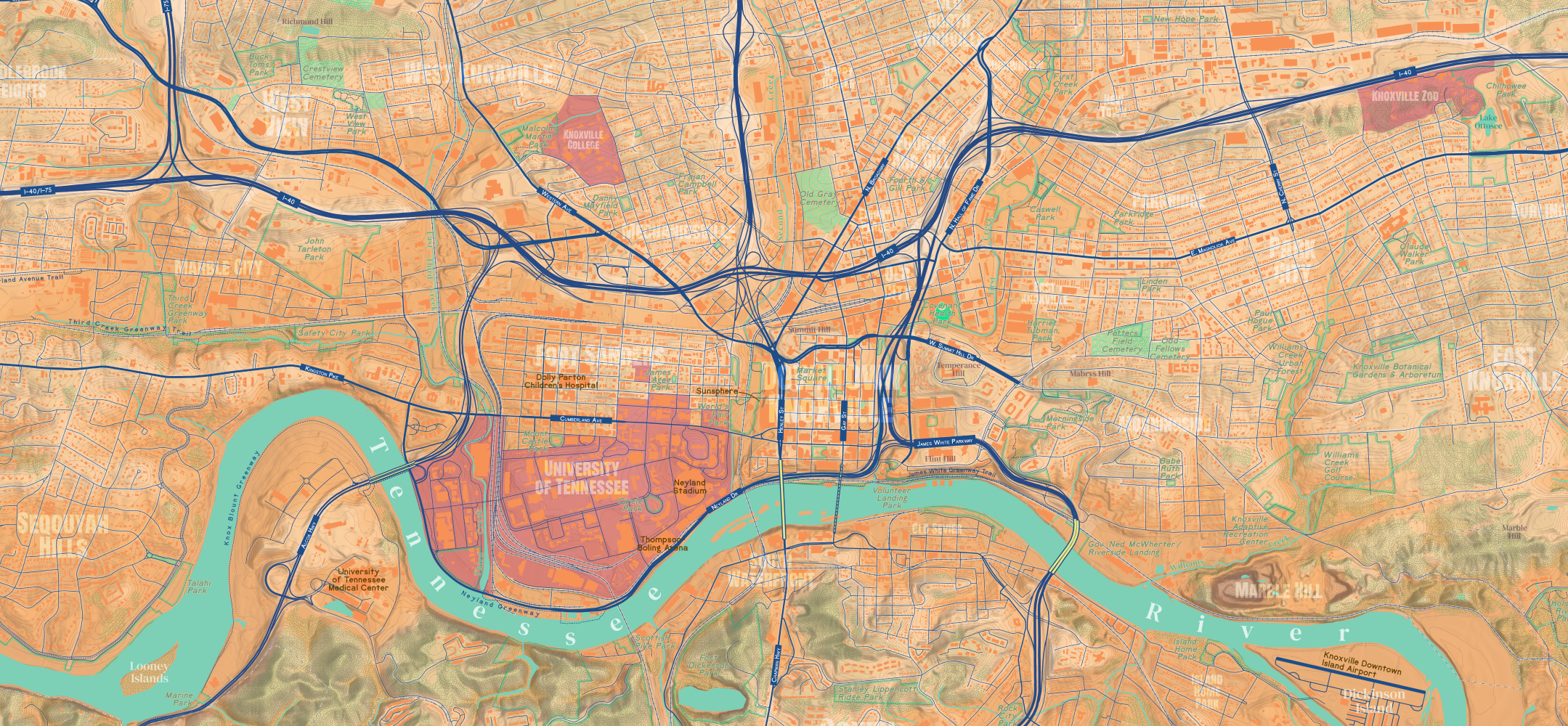
This is a 24×36 inch topographic map of Knoxville that highlights physical features of the Scruffy City. The labeling is relatively light compared to a typical reference map. Only a few major roads are labeled to keep the clutter to a minimum. The overall design is inspired by mid-20th century USGS topographic maps. The color palette is loosely based on the University of Tennessee Orange.

This map features a subtle hillshade with 10-foot contours. It highlights forested areas along ridgelines, landmarks within the city, the Tennessee River, major roads, trails, parks, and more. It also shows the many neighborhoods in Knoxville.
Downtown Knoxville

Sharp’s Ridge and Sharp Gap

Marble City
